Earthquake and tsunami disaster prevention field20230403
Volcanic disaster prevention services
Field:
Natural disaster prevention and mitigation business > Earthquake and tsunami disaster prevention field
Keyword:
Volcanic disaster prevention services
Volcano monitoring system
As a manufacturer of measurement instruments and a system integrator with strengths in the field of disaster prevention, the OYO Group contributes to the construction of important
national systems for disaster prevention and monitoring. Examples include a volcano monitoring system (Japan Meteorological Agency) and a nationwide strong-motion seismograph network
(National Research Institute for Earth Science and Disaster Resilience).
From 2009 to 2010, we were in charge of the manufacturing, installation, and construction of comprehensive volcano observation equipment for 42 volcanoes and 43 locations nationwide by
the Japan Meteorological Agency.
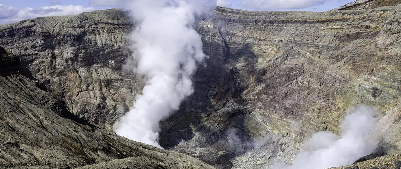
This system comprehensively observes earthquakes, tremors, and crustal movements associated with volcanic activity. The network is useful for eruption warnings and forecasts. Since
2015, in order to further strengthen monitoring, we have installed inclinometers and broadband seismographs around the craters of 47 volcanoes selected by the Coordinating Committee
for Prediction of Volcanic Eruptions based on the disaster caused by phreatic eruption of Mount Ontake.
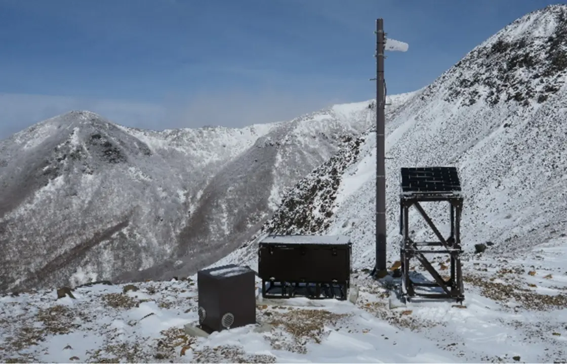
Inclinometer (Mount Nasu)
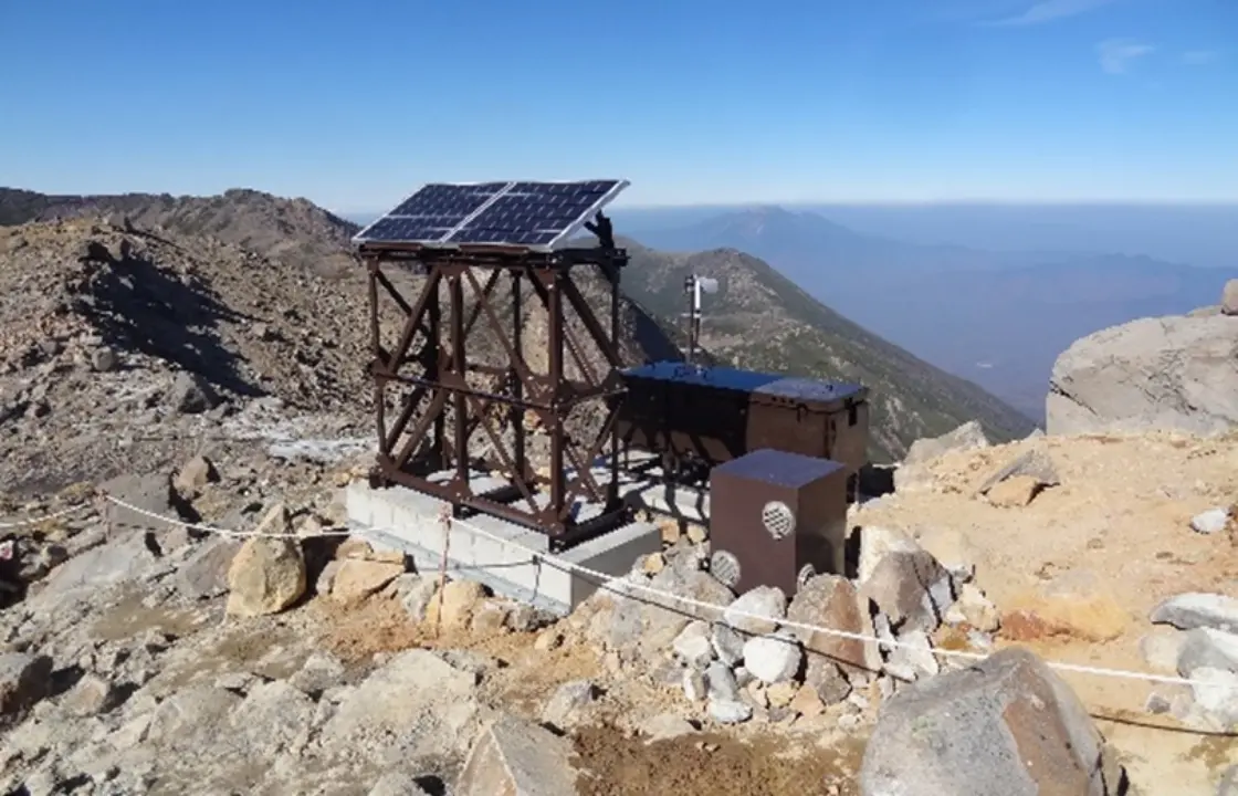
Broadband seismograph (Mount Ontake)
Other services related to preventing volcanic disasters
As other services related to volcanic disaster prevention, OYO Corporation also provides surveys for the internal structure of volcanoes (surveys to prevent sediment-related disasters in downstream basins due to the sediment generated when a volcano collapses due to an eruption) by airborne geophysical exploration methods performed by manned helicopters and ash fall simulations (prediction of ash fall on business establishments due to volcanic eruptions, calculation of loss risk due to suspension of operations, etc.) for predicting economic damage, etc., caused by volcanic ash.
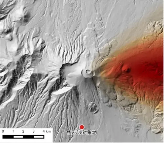
Volcanic ash fall simulation
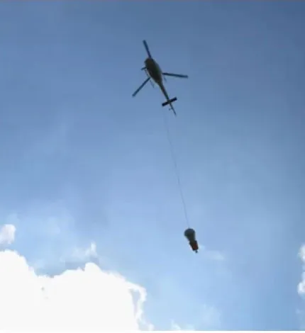
Using a manned helicopter to explore the internal structure of a volcano