Infrastructure maintenance field20230403
Underground visualization services
Field:
Infrastructure Maintenance, Management, and Renovation > Infrastructure maintenance field
Keyword:
Overview
Urban areas have various types of underground infrastructure such as water pipes, gas pipes, sewage pipes, and electric and communication lines. Information on these underground
infrastructures is managed by different operators for each infrastructure. There are cases in which there are no remaining maps showing the locations of old pipes, or in which the
actual locations of buried objects differ from those on the drawings. Such cases have often been major obstacles in construction involving underground excavation.
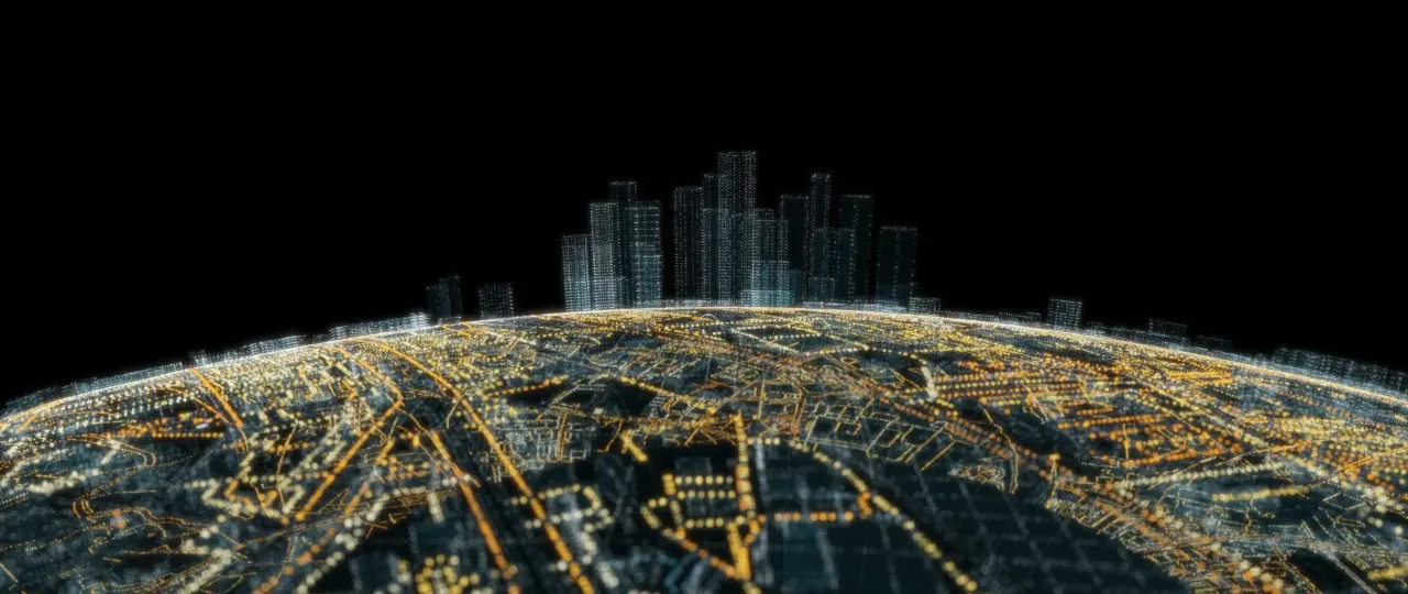
The underground
visualization services visualize and map the accurate 3D position information of underground infrastructure located beneath roads in urban areas. The services use a 3D ground
penetrating radar exploration vehicle developed by OYO Corporation and AI analysis technology developed by Hitachi, Ltd. The services are centrally managed and provided on a platform.
Via the cloud, users can obtain on-demand information on underground infrastructure at any location they need and at any time.

Features
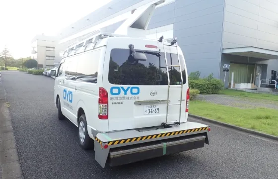
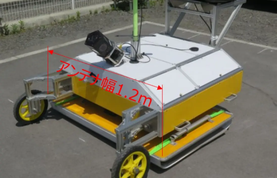
Technology utilizing multiple exploration devices to accurately acquire location information for underground buried objects
Using two types of radar exploration devices (vehicle type and hand-held type), we acquire information on buried objects according to environmental factors such as road width.
Furthermore, we use GNSS and omnidirectional cameras to simultaneously acquire images of the road surface and the ground. These images can be linked with the location information of
objects buried underground.
Improve the ability to detect buried objects by optimizing transmission / reception patterns
Derives the optimal combination of radar transmission and reception patterns, thereby improving the capability to detect buried pipes. It is also possible to detect vertical drainage pipes that flow upwards and downwards.
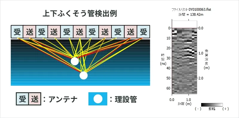
Enables 3D display of location information for buried objects in each point
This technology makes it possible to view the location information of buried objects at any point on a wide-area map in 2D or 3D. Location information on objects buried underground also provides data such as depth from ground level and offset from real-world landmarks.