BIM / CIM
- Geological and geotechnical risk management
-
- We provide optimal geological risk management in accordance with guidelines based on specialized and cutting-edge knowledge and technology related to geology, thereby supporting the smooth progress of our customers' businesses.
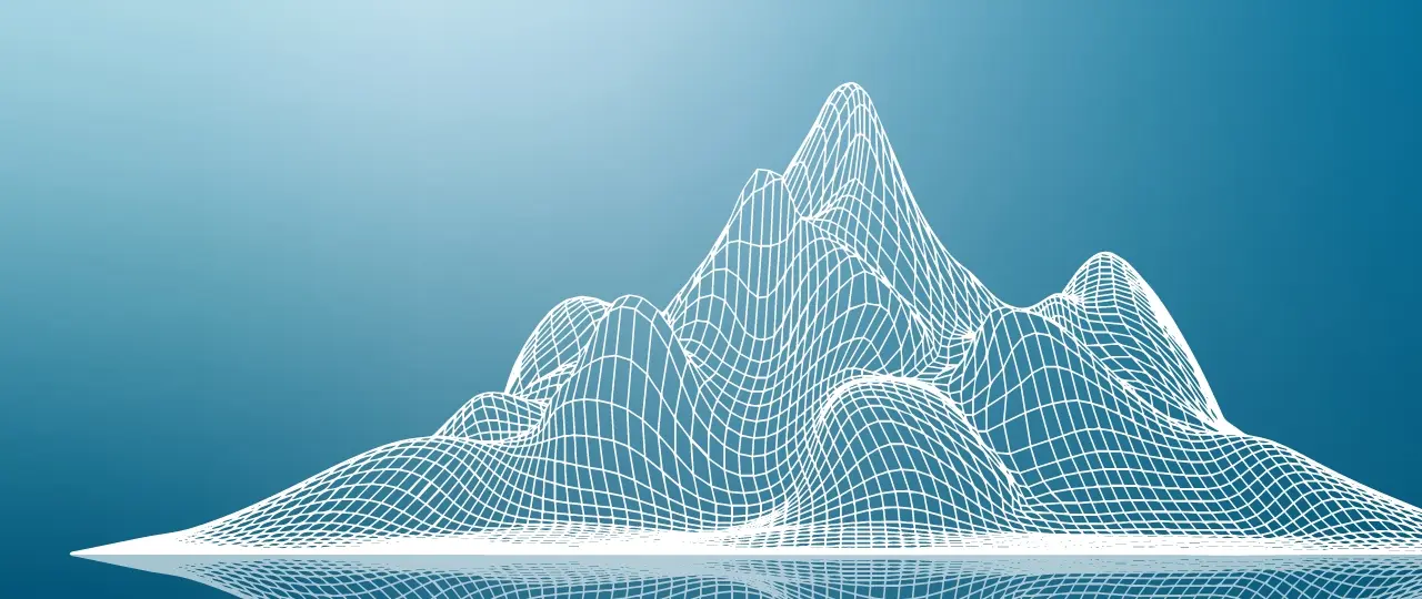
- 3D Microtremor Array Survey
-

- This method uses the latest geophysical exploration technology for 3D visualization of the ground structure. This prevents unexpected accidents and cost increases in underground excavation work.
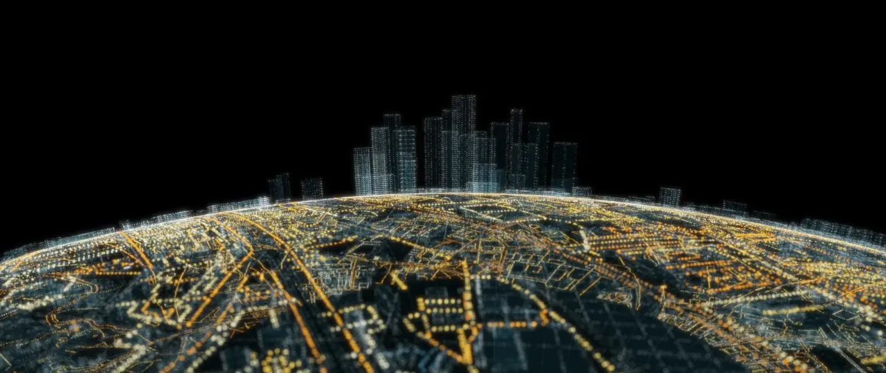
- OYO Corporation's initiatives for BIM / CIM
-
- OYO Corporation contributes to the spread and expansion of BIM / CIM through our industry-leading 3D geotechnical analysis technology.
- Landslide 3D groundwater evaluation and countermeasure services
-
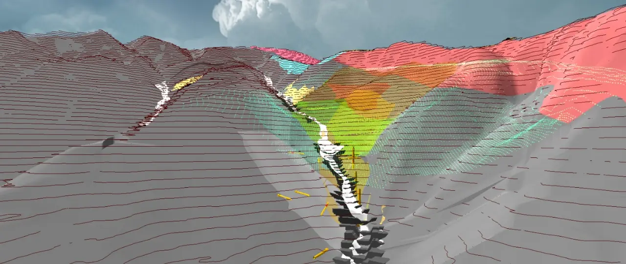
- These services use the latest 3D geological analysis technology to achieve 3D visualization of groundwater conditions inside the landslide. The services guide efficient and effective landslide countermeasures.
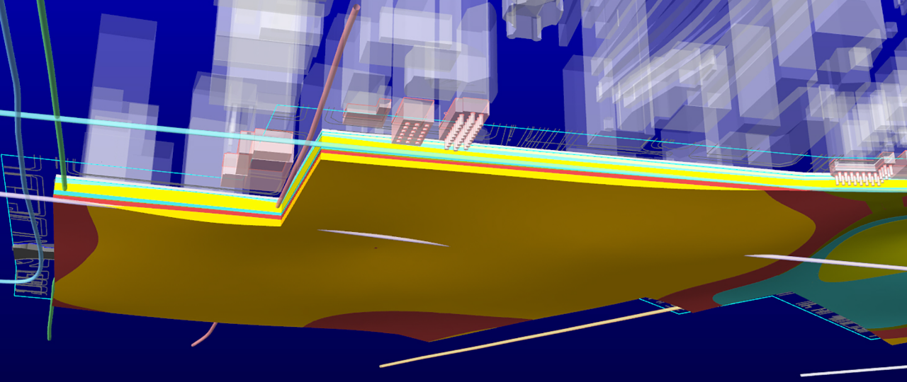
- Ells3D : River levee soundness evaluation system
-
- This system efficiently extracts weak points in levees and enables effective measures to strengthen levees, thereby reducing the risk of flooding in basins.
- Underground visualization services
-
- These services provide on-demand location information in 3D for objects buried underground. The services support safe and smart underground excavation work.
- System for tunnel inspection, maintenance, and management
-
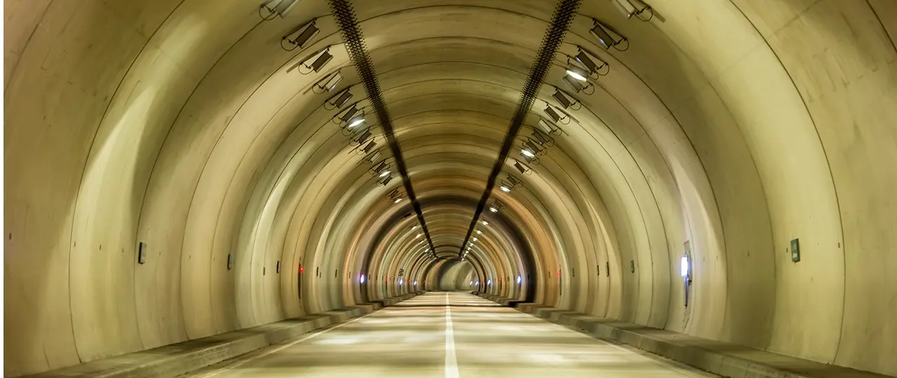
- This system uses AI and 3D models for efficient and advanced maintenance / management of tunnels. The system contributes to infrastructure DX.
- Offshore wind power generation support services
-
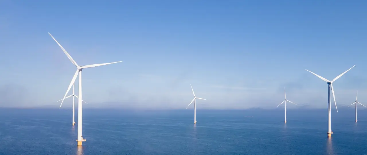
- Supporting offshore wind power generation projects through cutting-edge seafloor survey technology, and contributing to the realization of carbon neutrality.
- Entering the Middle East Market
-
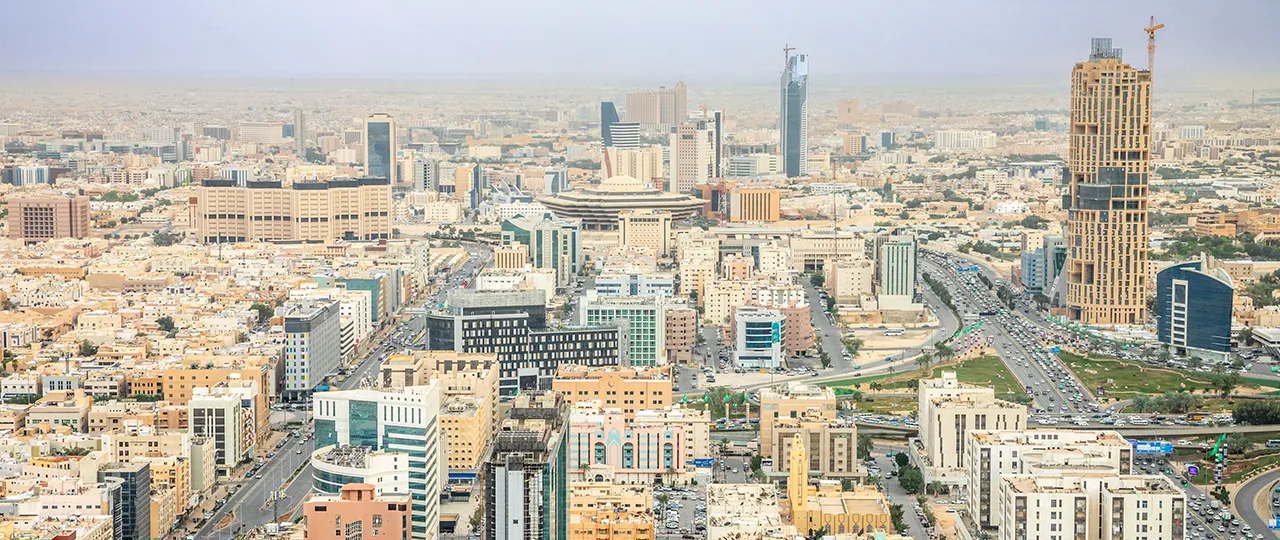
- Contribute to the establishment of disaster prevention systems worldwide
- 4D Ground Monitoring Technology
-

- Expansion into large-scale infrastructure projects overseas