Report service20230403
Natural Disaster Prevention and Mitigation20230403
Infrastructure Maintenance, Management, and Renovation20230403
Environment20230403
Land information report
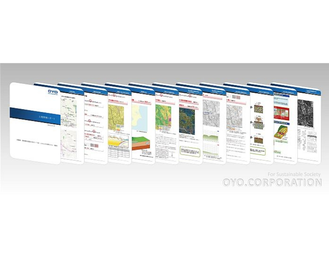
Features
Information available from Land information report
- 1.Ease of ground shaking
- 2.Position and distance of active faults
- 3.Potential for liquefaction
- 4.Possibility of landslide disaster
- 5.Potential for flooding
- 6.History of land
* Other content can be added upon request.
Reports are provided in two ways. The first is to order each report separately. The second is for the contracted party to print out data from the cloud system. There are different plans depending on the type of usage. Please contact us for further information.
Other risk reporting services
-
Natural disaster risk information report
Based on information such as the geological and topographical databases we have accumulated, seismic motion prediction data provided by the national and local governments, past damage history, inundation assumptions, and hazard maps, our experts will provide a detailed evaluation of natural disaster risk information and provide evaluation results in report format. -
GHI (Geo-hazard information) report
This report collectively evaluates the natural disaster risk of multiple sites and provides the evaluation results in a table format. The report can be used as the first step in BCP, such as prioritizing disaster prevention measures. -
Water damage risk report
From various materials such as inundation assumptions and hazard maps provided by the national and local governments, we collect and organize water damage risk information such as flooding, storm surge flooding, and inundation due to rainwater (inland water). We then provide the information in an easy-to-understand report format. -
Slope risk report
We perform a simple diagnosis of the degree of slope hazard within the project site and promptly provide slope failure risk information.